PhD candidate: Marlène Boura
Supervision: Geoffrey Caruso
Duration: 2017-2021
In the context of population growth and urbanisation, associated with an increase of GHG concentration in the atmosphere, the impact of human activities on climate change is ever increasing. Simultaneously, the pressure on natural ecosystems especially within and around cities becomes harder. We contend that these natural ecosystems are important to mitigate climate change, if we would be able to understand better how the services they provide to Earth and mankind vary across and within cities, especially along different spatial arrangements of anthropogenic and natural lands.
The majority of GHG emissions arise from anthropogenic activities within urban areas, while the most important potential carbon sinks lie within natural and semi-natural areas. The further agglomeration of the population in cities but also the last two decades of density planning are both aggregated views of cities which ignore the spatial pattern of carbon sources and sinks. A deeper understanding is needed on how urban areas can cope with their own emissions, and at which magnitude, compared to global scale effects. The objective of this project is to provide insights on how urban forms and their inner characteristics relate to carbon dioxide (CO2) profiles. More particularly, it analyses the level of integration of urban forest (i.e., all elements of urban vegetation) present within the built-up footprint and within functional urban areas in order to derive the effect of their spatial distribution on CO2 flows and aggregated budgets.
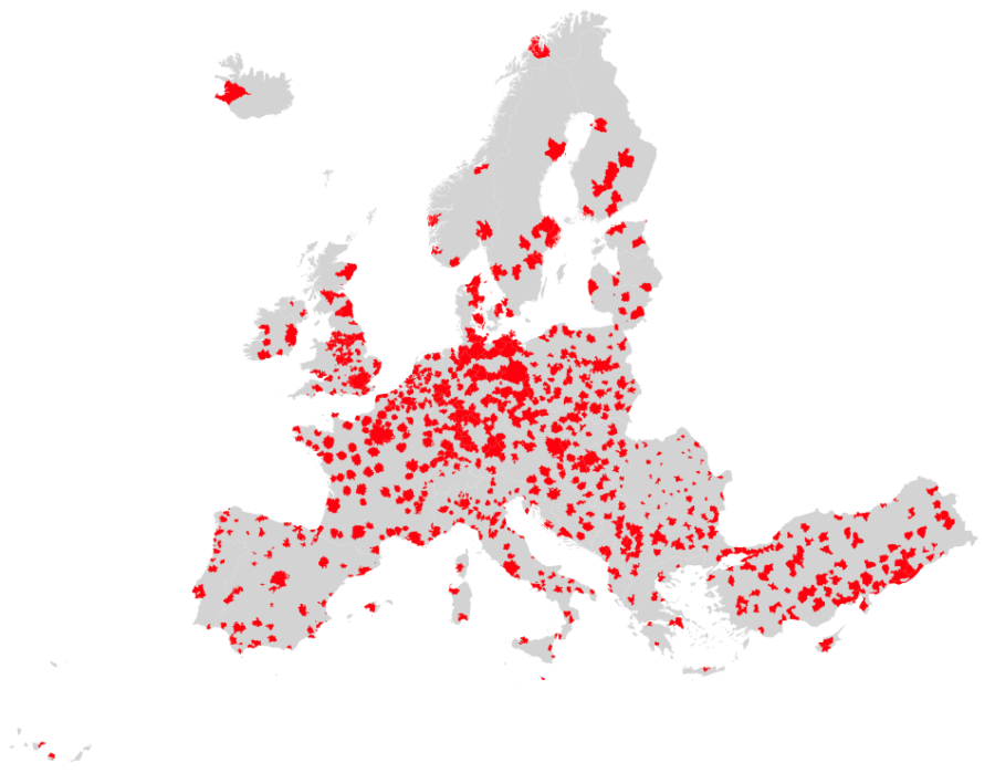
The research is conducted at a geographically detailed scale for hundreds of Functional Urban Areas (FUAs) in Europe. It is structured in three stages as follows:

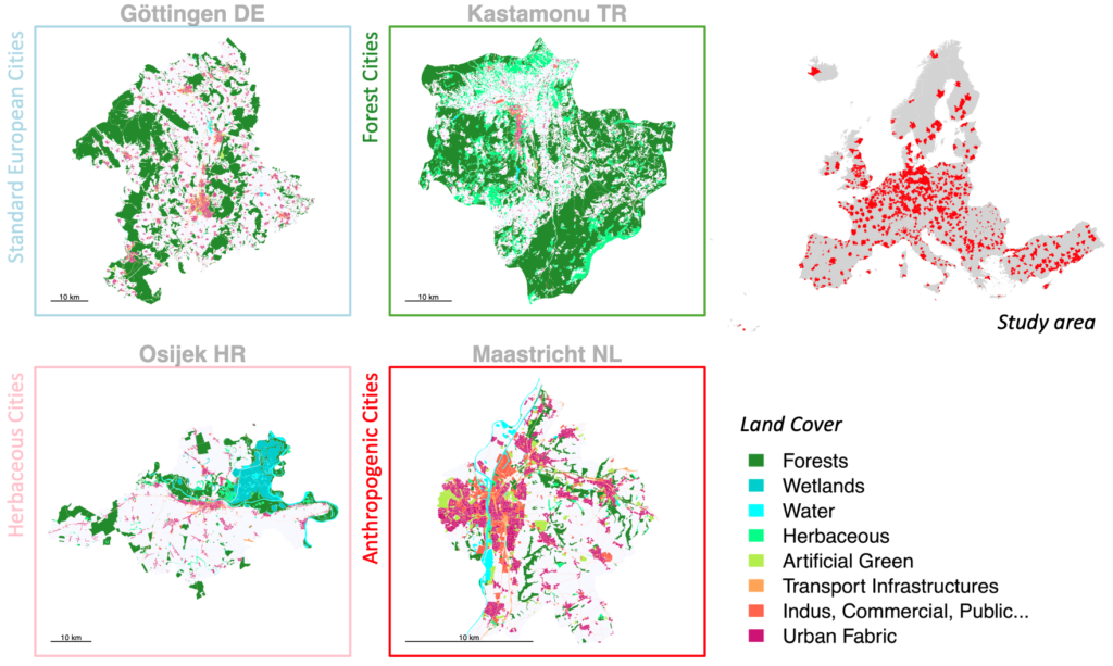
- Urban Forest Ecosystem Services (UFES) typology: How much variation exist in Europe in the spatial integration and characteristics of urban forests within urban settlements. Are there clear types and how can they potentially support ES arising from the urban forest? Are there mismatches between needs and provisions of urban forests ES in general or for some urban types?
- CO2 flows and UFES typology: How does the relative spatial pattern of urban forests (and their characteristics) within urban areas impact the CO2 uptake potential? Modelling of spatial explicit CO2 flows for European urban areas and analysis of the link between the typology and the carbon profile.
- Spatial boundaries and CO2 profiles: How does the definition of urban boundaries affect CO2 budget appraisal? (functional-radial-morphological approaches). What is the impact of choosing a city, metropolitan, regional, national, continental scale for appraisal? How can each of these scales be relevant against planning capacities and land use policies?
This PhD project is held at the University of Luxembourg and the Thesis Supervisory Committee (CET) is constituted of:
-Prof. Geoffrey Caruso: University of Luxembourg (Department of Geography and Spatial Planning), Luxembourg Institute of Socio-Economic Research (LISER) – Supervisor
-Prof. Cecil Konijnendijk van den Bosch: University of British Columbia (Department of Forest Resources Management)
-Prof. Mohamed Hilal: AgroSup Dijon and INRA (UMR CESAER)

